


Gjør som tusenvis av andre bokelskere
Abonner på vårt nyhetsbrev og få rabatter og inspirasjon til din neste leseopplevelse.
Ved å abonnere godtar du vår personvernerklæring.Du kan når som helst melde deg av våre nyhetsbrev.
Intriguing place names abound in Kansas. This handy place name gazatteer is both a valuable reference and a source of good fun.
Can you identify the "Bride of the Adriatic"?, the "Home of Bock Beer"?, or the "Sick Man of Europe"? These nicknames and many others - appellations of countries, cities, mountains, rivers, capes and places of historical interest - are identified in Harold Sharp's concise volume.
Interweaving cartographic history with tales of politics and power, this work is located within the struggles of mapmakers to create an orderly process for naming that avoids confusion, preserves history, and serves different political aims. It reveals the map's role as a mediated portrait of the cultural landscape.
The first place-by-place chronology of U.S. history, this book offers the student, researcher, or traveller a handy guide to find all the most important events that have occurred at any locality in the United States.
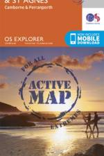
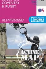
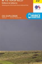
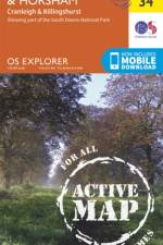
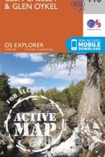
Tough, durable and weatherproof, this title features maps that are covered in a lightweight protective plastic coating that can be written on, so that your favourite routes can be easily highlighted.
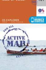
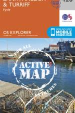
Tough, durable and weatherproof, this title features maps that are covered in a lightweight protective plastic coating that can be written on, so that your favourite routes can be easily highlighted.
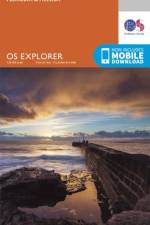
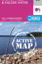
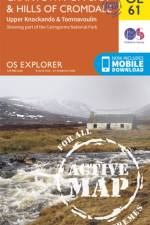
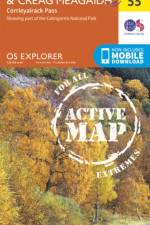
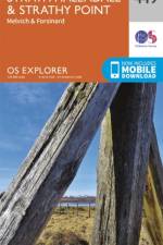
OS Explorer is the Ordnance Survey's most detailed map and is recommended for anyone enjoying outdoor activities such as walking, horse riding and off-road cycling. The series provides complete GB coverage and can now be used in all weathers thanks to OS Explorer - Active, a tough, versatile version of OS Explorer.
OS Explorer is the Ordnance Survey's most detailed map and is recommended for anyone enjoying outdoor activities such as walking, horse riding and off-road cycling. The series provides complete GB coverage and can now be used in all weathers thanks to OS Explorer - Active, a tough, versatile version of OS Explorer.
Beginning in the pioneering Victorian age, the author charts the evolution of architecture, branding, typeface, map design, interior and textile styles, posters, signage and graphic design and how these came together to shape the Underground's identity, and the character of London itself.
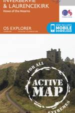
OS Explorer is the Ordnance Survey's most detailed map and is recommended for anyone enjoying outdoor activities such as walking, horse riding and off-road cycling. The series provides complete GB coverage and can now be used in all weathers thanks to OS Explorer - Active, a tough, versatile version of OS Explorer.
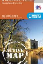
OS Explorer is the Ordnance Survey's most detailed map and is recommended for anyone enjoying outdoor activities such as walking, horse riding and off-road cycling. The series provides complete GB coverage and can now be used in all weathers thanks to OS Explorer - Active, a tough, versatile version of OS Explorer.
OS Explorer is the Ordnance Survey's most detailed map and is recommended for anyone enjoying outdoor activities such as walking, horse riding and off-road cycling. The series provides complete GB coverage and can now be used in all weathers thanks to OS Explorer - Active, a tough, versatile version of OS Explorer.
OS Explorer is the Ordnance Survey's most detailed map and is recommended for anyone enjoying outdoor activities such as walking, horse riding and off-road cycling. The series provides complete GB coverage and can now be used in all weathers thanks to OS Explorer - Active, a tough, versatile version of OS Explorer.
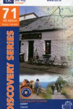
The Discovery Series are designed for tourist and leisure activities. Each one covers an area of 40km x 30km at the scale of 1:50,000. There are 93 sheets in the series. 75 are produced by Ordnance Survey Ireland and 18 by Ordnance Survey Northern Ireland. The maps produced by Ordnance Survey Northern Ireland are called the Discoverer Series.
Illuminates the key role of naming in the colonial silencing of indigenous cultures, canonization of nationalistic ideals into nomenclature of cities and topographic maps, as well as the formation of more or less fluid forms of postcolonial and urban identities.
Place names are a window into the history and characteristics of a country. The book will include a historical section, putting the place name into context, and references those events, which have had an impact on the geography of a country, and those foreign influences, which have played a part in shaping the place name.
From Bedford-Stuyvesant to Williamsburg, Brooklyn's historic names are emblems of American culture and history. Talking about the stories behind the landmarks, this book deals with the borough's textured past. It also tells the tales of the poets, philosophers, baseball heroes, diplomats, warriors, and saints who have left their imprint.
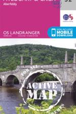
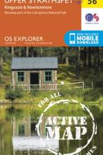
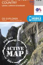
OS Explorer Map is the Ordnance Survey's most detailed map and is recommended for anyone enjoying outdoor activities such as walking, horse riding and off-road cycling. The series provides complete GB coverage and can now be used in all weathers thanks to OS Explorer Map - Active, a tough, versatile version of the OS Explorer Map.
OS Explorer Map is the Ordnance Survey's most detailed map and is recommended for anyone enjoying outdoor activities such as walking, horse riding and off-road cycling. The series provides complete GB coverage and can now be used in all weathers thanks to OS Explorer Map - Active, a tough, versatile version of the OS Explorer Map.
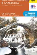
OS Explorer Map is the Ordnance Survey's most detailed map and is recommended for anyone enjoying outdoor activities such as walking, horse riding and off-road cycling. The series provides complete GB coverage and can now be used in all weathers thanks to OS Explorer Map - Active, a tough, versatile version of the OS Explorer Map.
OS Explorer Map is the Ordnance Survey's most detailed map and is recommended for anyone enjoying outdoor activities such as walking, horse riding and off-road cycling. The series provides complete GB coverage and can now be used in all weathers thanks to OS Explorer Map - Active, a tough, versatile version of the OS Explorer Map.
OS Explorer Map is the Ordnance Survey's most detailed map and is recommended for anyone enjoying outdoor activities such as walking, horse riding and off-road cycling. The series provides complete GB coverage and can now be used in all weathers thanks to OS Explorer Map - Active, a tough, versatile version of the OS Explorer Map.
Featuring over 50 world maps, this title offers an analysis of the political, social, economic and ecological nightmares that keep us awake at night.
Abonner på vårt nyhetsbrev og få rabatter og inspirasjon til din neste leseopplevelse.
Ved å abonnere godtar du vår personvernerklæring.