


Gjør som tusenvis av andre bokelskere
Abonner på vårt nyhetsbrev og få rabatter og inspirasjon til din neste leseopplevelse.
Ved å abonnere godtar du vår personvernerklæring.Du kan når som helst melde deg av våre nyhetsbrev.
The ultimate travel guide for hip parents on the go, with all the best tips for visiting Barcelona with children including maps, a journal and more!
The definitive survey of the countries and territories of Western Europe, comprising expert analysis and commentary. Includes up-to-date economic and socio-political data, and directory information.
The definitive guide to all sub-Saharan African countries, providing economic and directory data, articles written by experts on topics of regional interest and thoroughly updated country chapters.
The colourful history and culture of Wisconsin are reflected in its place names, from those created by Native Americans, French explorers, and diverse European settlers to more recent appellations commemorating political figures, postmasters, and landowners. Organised alphabetically for easy reference, Edward Callary's concise entries reveal the stories behind these intriguing names.
28 circular, graded walks all tried and tested by seasoned walkers. The routes range from extended strolls to exhilarating hikes, so there is something for everyone.
The Coast to Coast Map Booklet, a captivating piece penned by the renowned author Terry Marsh, is an exceptional addition to any bookshelf. Published by Cicerone Press in 2023, this book transcends the boundaries of ordinary storytelling. It's not just a book; it's a journey that takes you from one coast to another, immersing you in a unique experience that only Terry Marsh could conceive and execute. The genre of this book, like its content, is refreshingly unique, making it a must-read for anyone who seeks something different from the norm. The Coast to Coast Map Booklet is more than just a book; it's a testament to Terry Marsh's extraordinary storytelling, brought to you by the renowned Cicerone Press.
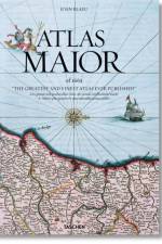
Superlatives flounder in the face of Joan Blaeu's Atlas Maior, one of the most extravagant feats in the history of mapmaking. This stunning edition is based on the Austrian National Library's complete colored and gold-heightened copy and reprints its 594 maps covering all then-known continents to the highest reproduction standard, rendering...
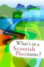
Some 1200 Scottish placenames are listed and their location shown on pictorial maps. The origins and possible meanings of the placenames are described.
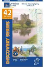
The Discovery Series are designed for tourist and leisure activities. Each one covers an area of 40km x 30km at the scale of 1:50,000. There are 93 sheets in the series. 75 are produced by Ordnance Survey Ireland and 18 by Ordnance Survey Northern Ireland. The maps produced by Ordnance Survey Northern Ireland are called the Discoverer Series.
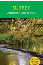
A new Pathfinder(R) walking guide for Surrey, featuring 28 circular walks around the county ranging in length from 2 to 13 miles for all abilities. Areas covered include the North Downs Way and Box Hill, with all walks accompanied by GPS waypoints, Ordnance Survey maps and beautiful photography.
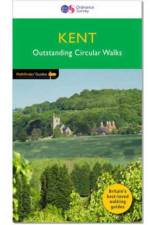
A new and updated Pathfinder(R) walking guide to Kent featuring 28 circular rambles clearly arranged by length and grade, visiting orchards, fields and churches, and areas from Westerham and Sandwich to Dover and the Isle of Sheppey - with all walks accompanied by GPS waypoints, Ordnance Survey maps and colour photography
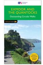
28 fabulous coastal and country walks in the Quantocks and in the Exmoor National Park, graded by length and ranging from 3 to 11 miles. All routes come with a clear, large-scale OS map, GPS waypoints and highlight where to park, good pubs and places of interest en route
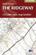
Map of the 87 mile (139km) Ridgeway National Trail through the south of England from Avebury in Wiltshire to Ivinghoe Beacon in Buckinghamshire. This booklet is included with the Cicerone guidebook to the trail, and shows the full route on Ordnance Survey 1:25,000 maps. Presented in 12 stages in the guidebook, the trail typically takes 6-8 days.
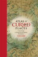
Oliver Le Carrer brings us a fascinating history and armchair journey to the world's most dangerous and frightful places, complete with vintage maps and period illustrations in a handsome volume.
Europa's comprehensive survey of the countries and territories of the region, providing expert analysis and commentary and containing up-to-date economic, socio-political and directory material.
Martin Vargic is an amateur graphic designer from Slovakia who rose to international fame in late January 2014, when his work 'Map of the Internet 1.0' went viral, generating hundreds of thousands of hits and Facebook shares. His first book, Vargic's Miscellany of Curious Maps, pulled together more than 1,800 clich¿and pop culture references into a series of maps based on stereotypical views of the world. It too received immediate media attention, and was prominently featured on a multitude of sites such as Slate, Huffington Post, Radio Times and many others.
A fully updated Pathfinder Guide to Thames Valley and the Chilterns, featuring 28 circular rambles across an area characterised by meadows and beech woods, visiting areas throughout Berks, Bucks and South Oxon. All walks are accompanied by GPS waypoints, Ordnance Survey maps and beautiful photography.
28 fabulous country walks in the Becon Beacons National Park, graded by length and ranging from 3 to 10 miles. All routes come with a clear, large-scale OS map, GPS waypoints and highlight where to park, good pubs and places of interest en route.
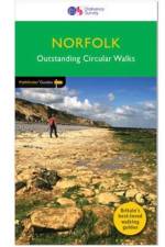
A revised Norfolk Pathfinder(R) Guide featuring 28 circular, graded walks all tried and tested by seasoned walkers, from the North Sea coastline to The Broads National Park. All routes are accompanied by GPS waypoints, Ordnance Survey maps and colour photography.
28 fabulous country walks focussing on the New Forest and South Downs National Parks, and the Itchen and Test valleys. Graded by length and ranging from 2 to 10 miles all routes come with a clear, large-scale OS map, GPS waypoints and highlight where to park, good pubs and places of interest en route.
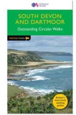
8 circular walks complementing Pathfinder Dartmoor, exploring the hills, river valleys, coastline and picturesque villages of the South Hams and south-east Devon - including Princetown, Buckfastleigh Moor and Vixen Tor. Each walk has been tried and tested by seasoned walkers and is accompanied by Ordnance Survey maps and colour photography.
28 circular, graded walks all tried and tested by seasoned walkers. The routes range from extended strolls to exhilarating hikes, so there is something for everyone.
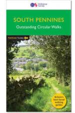
A brand new title with 28 fabulous country walks in the southern Pennines, ranging from 3 to 10 miles with accompanying GPS references for all waypoints and clear, large scale Ordnance Survey route maps.
The Atlas of Ancient Rome provides a comprehensive archaeological survey of the city of Rome from prehistory to the early medieval period. Lavishly illustrated throughout with full-color maps, drawings, photos, and 3D reconstructions, this magnificent two-volume slipcased edition features the latest discoveries and scholarship, with new descriptions of more than 500 monuments, including the Sanctuary of Vesta, the domus Augusti, and the Mausoleum of Augustus. It is destined to become the standard reference for scholars, students, and anyone interested in the history of the city of Rome.The Atlas of Ancient Rome is monumental in scope. It examines the city''s topography and political-administrative divisions, trade and economic production, and social landscape and infrastructureΓÇöfrom residential neighborhoods and gardens to walls, roads, aqueducts, and sewers. It describes the fourteen regions of Rome and the urban history of each in unprecedented detail, and includes profiles and reconstructions of major monuments and works of art. This is the only atlas of the ancient city to incorporate the most current archaeological findings and use the latest mapping technologies.Authoritative and easy to use, The Atlas of Ancient Rome is the definitive illustrated reference book on Rome from its origins to the sixth century AD.Fully updated from the Italian edition to include the latest discoveries and scholarshipFeatures a wealth of maps, illustrations, and 3D reconstructionsCovers RomeΓÇÖs topography, economy, urban infrastructure, and moreIncludes profiles of major monuments and works of artDraws on the latest archaeological findings and mapping technologiesTwenty years in the making by a team of leading experts
Abonner på vårt nyhetsbrev og få rabatter og inspirasjon til din neste leseopplevelse.
Ved å abonnere godtar du vår personvernerklæring.