Gjør som tusenvis av andre bokelskere
Abonner på vårt nyhetsbrev og få rabatter og inspirasjon til din neste leseopplevelse.
Ved å abonnere godtar du vår personvernerklæring.Du kan når som helst melde deg av våre nyhetsbrev.
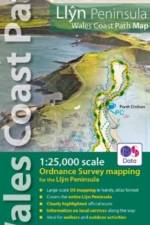
Enhanced, large scale (1: 25,000) Ordnance Survey mapping in a handy atlas format with all the mapping you need to walk the Llyn Peninsula section of the Wales Coast Path.
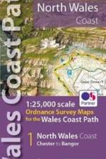
One of seven handy, lightweight, pocket sized map bookscovering the whole of the 870 mile/1400 kilometre Wales Coast Path. This volume covers North Wales from Chester to Bangor and includes enhanced large scale (1:25,000) Ordnance Survey mapping in a handy atlas format.
Abonner på vårt nyhetsbrev og få rabatter og inspirasjon til din neste leseopplevelse.
Ved å abonnere godtar du vår personvernerklæring.