
Gjør som tusenvis av andre bokelskere
Abonner på vårt nyhetsbrev og få rabatter og inspirasjon til din neste leseopplevelse.
Ved å abonnere godtar du vår personvernerklæring.Du kan når som helst melde deg av våre nyhetsbrev.
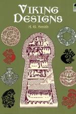
An inexpensive source of inspiration and striking graphics for art and craft projects, this compilation features more than 175 authentic, royalty-free motifs: sinuously intertwined patterns, mythological animals, dragon-slaying heroes, much more.
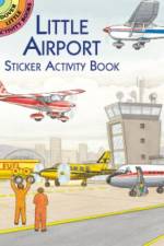
Young children can create a busy airport scene with the images in this entertaining activity book. Features 30 full-color peel-and-apply stickers depicting passengers, flight crew, luggage handlers, a fuel truck, supersonic and conventional aircraft, and more that can be applied to a background scene of a runway, hangars, and a control tower. Full-color. 4 plates.
A Gothic Revival with stained glass windows, a Queen Anne with turrets, and a Richardson Romanesque are among these 31 handsome, ready-to-color images, each accompanied by a fact-filled caption. Originally published as Victorian Houses.
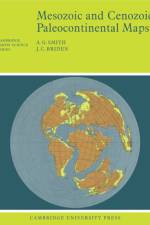
This 1977 book shows the positions of the major continental areas during the past 220 million years as four series of computer-drawn maps. All the maps are based on quantitative geophysical or topographic information: paleomagnetic pole positions, ocean floor magnetic anomalies, and best fits of the continental margins.
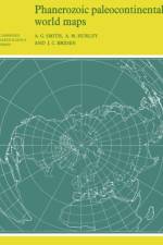
This 1980 book shows the positions of the major continental areas during the past 560 million years as four series of computer-drawn maps, which provide a framework on which a wide variety of data may be plotted. Cylindrical equidistant and Lambert equal-area polar projections are used, with a thirty-degree latitude-longitude grid.
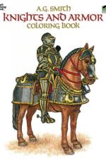
Historically accurate renderings of Vikings, Italian Condottiere, Spanish foot-soldiers, and luminaries such as Richard the Lion-Hearted document the evolution and development of personal armor and weapons through the centuries. 42 plates.
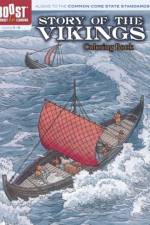
Thirty-eight meticulous rendered illustrations of Viking saga: European raids, American and Russian presence, ship construction, weapons, art, literature, much more. Captions.
Abonner på vårt nyhetsbrev og få rabatter og inspirasjon til din neste leseopplevelse.
Ved å abonnere godtar du vår personvernerklæring.