

Gjør som tusenvis av andre bokelskere
Abonner på vårt nyhetsbrev og få rabatter og inspirasjon til din neste leseopplevelse.
Ved å abonnere godtar du vår personvernerklæring.Du kan når som helst melde deg av våre nyhetsbrev.
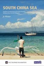
This first edition of South China Sea is the successor to Stephen Davies and Elaine Morgan's Cruising Guide to Southeast Asia, Volume I (Imray). Building on the earlier work, this new edition has been updated and expanded to include coverage of Cambodia and Taiwan.
First edition. Part of the small format Y series (A2 size), this replicates sheet 2400.15 from the 2400 West Country Chart Pack
Plans included:Continuation of Helford River to Gweek (1:17 000)First edition. Part of the small format Y series (A2 size), this replicates sheet 2400.11 from the 2400 West Country Chart Pack
Plans included:Mylor Yacht Harbour (1:10 000)Falmouth Marina (1:5000)Falmouth Inner Harbour (1:10 000)First edition. Part of the small format Y series (A2 size), this replicates sheet 2400.12 from the 2400 West Country Chart Pack
Plans included:Continuation to Lostwithiel (1:20 000)First edition. Part of the small format Y series (A2 size), this replicates sheet 2400.7 from the 2400 West Country Chart Pack
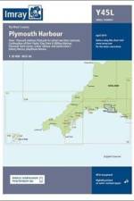
Reverse side:Continuation to Saltash and Saint Germans (1:20 000)Plans included:Mayflower Marina (1:5000)King Point & Millbay Marinas (1:10 000)Sutton Harbour and Queen Anne's Battery Marina (1:7500)Plymouth Yacht Haven (1:5000)Continuation of River Yealm (1:20 000)
First edition. Part of the small format Y series (A2 size), this replicates sheet 2400.15 from the 2400 West Country Chart Pack
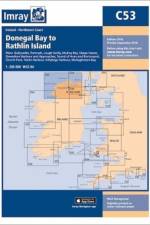
Ballycastle (1:5000)Portrush (1:15 000)Lough Swilly (1:45 000)Mulroy Bay (1:30 000)Sheep Haven (1:30 000)Gweedore Harbour and Approaches (1:40 000)Sound of Aran and Burtonport (1:30 000)Church Pool (1:20 000)Teelin Harbour (1:10 000)Killybegs Harbour (1:12 500)Mullaghmore Bay (1:50 000)
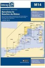
On this 2017 edition the latest depth surveys have been applied. The harbour plan of Roses has been replaced by a new harbour plan of Golfe de Fos. The chart specification has been improved to show coloured light flashes. There has been general updating throughout.
Southeast Coast of Puerto Rico Plans include: Pasaje Medio Mundo Ensenada Honda Palmas del Mar Puerto Arroyo & Puerto Patillas
Plans include: Porto Santo Porto do Funchal Porto de Sao Lourenco Porto de Reireio da Calheta On the reverse side Salvage Islands.
On this 2018 edition the chart specification has been improved to show coloured light flashes. There has been general updating throughout.
A new edition of the atlas North France, consisting of 6 double-sided sheets covering the coast from Nieuwpoort (Belgium) to Cherbourg. The atlas consists of the following:
Plans included:Boston (1:10 000)King's Lynn (1:15 000)Brancaster Harbour and Overy Staithe (1:35 000)Wells-next-the-Sea (1:30 000)Blakeney Harbour (1:40 000)Wisbech Yacht Harbour (1:6250)
Windward Islands - The GrenadinesOn this 2017 edition the latest depth surveys have been applied where available. The chart specification has been improved to show coloured light flashes. There has been general updating throughout.
Leeward Islands Plans included: Deshaies (1:25 000) Pigeon Island (1:25 000) Marina de Riviere Sens (1:10 000) Pointe-a-Pitre Approaches (1:50 000) Pointe-a-Pitre (1:25 000) Gosier (1:30 000) Sainte Francois & Marina de la Grande Saline (1:10 000) Port Louis (1:20 000) Iles de la Petite Terre (1:50 000)
Plans included: Approaches to Brindisi (1:35 000) Approaches to Siracusa (1:50 000) For this 2015 edition, the amended TSS at Brindisi is now shown along with revised depths.
Plans included:Pierowall Harbour (1:40 000)Whitehall Harbour (1:25 000)Bay of Kirkwall (1:12 500)Stromness Harbour (1:12 500)Scrabster Harbour (1:7500)Wick Bay (1:10 000).
On this 2016 edition the latest depth surveys have been applied throughout. The chart specification has now been improved to show coloured light flashes.
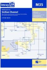
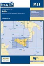
A brand new chart for 2016 covering the south coast of Sicily and Malta Passage Plans included: Licata (1:20 000) Porto Palo and Capo Passero (1:100 000) Siracusa (1:35 000) Grand Harbour & Marsamxett (Malta) (1:15 000)
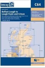
Plans included: Loch Sween (Tayvallich) (1:25 000) Continuation of West Loch Tarbert (1:65 000) Port Ellen (1:25 000) Lough Foyle (1:90 000) Portrush (1:20 000) Larne (1:18 500) Belfast Lough (1:110 000) Carrickfergus (1:15 000) Bangor Bay (1:17 500) Continuation of River Foyle to Londonderry (1:60 000) .
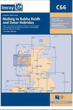
Plans included: Loch Gairloch (1:40 000) Kyleakin (1:40 000) Portree (1:25 000) Uig (1:35 000) Dunvegan (1:40 000) Loch Boisdale (South Uist) (1:25 000) Loch Carnan (1:20 000) Loch Maddy (1:40 000) East Loch Tarbert (1:60 000)
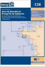
Plans included: Port la Foret (1:15 000) Concarneau (1:15 000) Port Manec'h (1:35 000) Ports Brigneau & Merrien (1:20 000) Doelan (1:15 000) Iles de Glenan North (1:30 000) Lorient (1:35 000) Lorient Yacht Harbour (1:10 000) Port Tudy (Ile de Groix) (1:10 000) Etel (1:35 000)
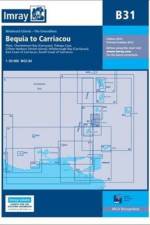
Windward Islands Plans include: Hillsborough Bay (Carriacou) Clifton & Ashton Harbours (Union Island) Charlestown Bay (Canouan) Tobago Cays
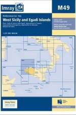
Plans include: Approaches to Marsala Approaches to Favignana Approaches to Trapani Approaches to Palermo
Plans: Approaches to Porto Capraia Approaches to Portoferraio Bastia Talamone Approaches to Porto S. Stefano
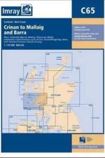
Plans included: Castle Bay (Barra) (1:25,000) Mallaig (1:10,000) Tobermory (Mull) (1:22,500) Caledonian Canal Entrance (1:40,000) Lynn of Lorn (1:40,000) Dunstaffnage Bay (1:20,000) Oban (1:15,000) Loch Feochan Entrance (1:25,000) Sound of Luing (1:30,000)
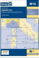
On this July 2016 edition the latest information on firing practice areas is shown, as are the latest details of Marine Reserves. Harbour developments are shown on plans of Livorno, La Spezia and Golfo Marconi.
Abonner på vårt nyhetsbrev og få rabatter og inspirasjon til din neste leseopplevelse.
Ved å abonnere godtar du vår personvernerklæring.