


Gjør som tusenvis av andre bokelskere
Abonner på vårt nyhetsbrev og få rabatter og inspirasjon til din neste leseopplevelse.
Ved å abonnere godtar du vår personvernerklæring.Du kan når som helst melde deg av våre nyhetsbrev.
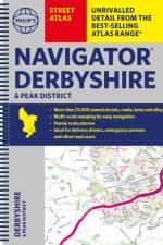
The only county Street Atlas with all the named streets of Derbyshire and the Peak District and perfect back-up for emergency services, delivery drivers, visitors and locals.
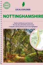
Philip's created this new series for walkers, cyclists and local explorers at a scale that provides greener options to uncover all the nature and hidden gems in your local area. From Beeston to Tickwell, we cover Nottinghamshire in enticing detail.
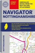
The only county Street Atlas with all the named streets of Nottinghamshire and perfect back-up for emergency services, delivery drivers, visitors and locals.
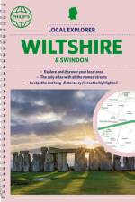
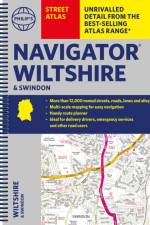
Philip's created this new series for walkers, cyclists and local explorers at a scale that provides greener options to uncover all the nature and hidden gems in your local area. From Chippenham to Wilton, we cover Wiltshire and Swindon in enticing detail.
The only county Street Atlas with all the named streets of Wiltshire and Swindon and perfect back-up for emergency services, delivery drivers, visitors and locals.
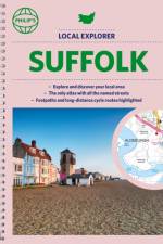
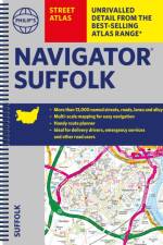
Philip's created this new series for walkers, cyclists and local explorers at a scale that provides greener options to uncover all the nature and hidden gems in your local area. From Bury St Edmunds to Woodbridge, we cover Suffolk in enticing detail.
The only county Street Atlas with all the named streets of Suffolk and perfect back-up for emergency services, delivery drivers, visitors and locals.
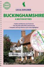
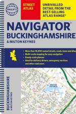
Philip's created this new series for walkers, cyclists and local explorers at a scale that provides greener options to uncover all the nature and hidden gems in your local area. From Aylesbury to Wolverton, we cover Buckinghamshire in enticing detail.
The only county Street Atlas with all the named streets of Buckinghamshire and Milton Keynes and perfect back-up for emergency services, delivery drivers, visitors and locals.
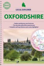
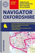
Philip's created this new series for walkers, cyclists and local explorers at a scale that provides greener options to uncover all the nature and hidden gems in your local area. From Abingdon-on-Thames to Wootton, we cover Oxfordshire in enticing detail.
The only county Street Atlas with all the 11,000 named streets of Oxfordshire and perfect back-up for emergency services, delivery drivers, visitors and locals.
Created specially for CXC Geography students in secondary schools and colleges, this market-leading atlas provides extensive, up-to-date coverage for each country in the Caribbean region, combined with a comprehensive set of world and regional maps.
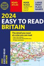
Introducing '2024 Philip's Easy to Read Britain Road Atlas' by renowned cartographer, Philip's Maps. This comprehensive atlas, published by the Octopus Publishing Group in 2023, is your perfect companion for navigating the highways and byways of Britain. The genre of this book is travel and geography, providing detailed and easy-to-read maps of the entire UK. The author, Philip's Maps, is renowned for their precision and attention to detail, making this atlas a must-have for any traveller. The publication year, 2023, ensures that the content is up to date, reflecting any recent changes in road layouts or new points of interest. Octopus Publishing Group, the publisher, is known for their high-quality publications, and this book is no exception. The atlas is written in English, making it accessible to a wide range of readers.
Clear and detailed mapping covers the whole of Europe including western Turkey. With scenic routes, beaches, theme parks, ski resorts and World Heritage Sites, alongside European driving regulations, key travel information and an illustrated listing of the Top 300 not-to-be-missed sights.
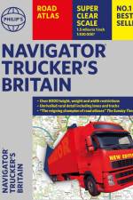
Introducing 'Philip's Navigator Trucker's Britain: Spiral', a masterful creation by Philip's Maps. This book, published in 2023, is a unique addition to the genre of map and travel guides. The Octopus Publishing Group, a renowned name in the publishing world, is proud to present this comprehensive guide to the roads of Britain. The book is designed specifically for truckers, providing detailed road maps and all the information a long-haul driver might need on their journey. The spiral binding allows for easy use on the go. Don't miss out on this essential companion for every trucker navigating Britain's highways and byways.
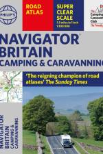
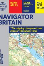
Philip's Navigator are Britain's bestselling road atlases - exceptional for their scale and clarity. 'A map that beats all others' The Daily Telegraph 'Scale, accuracy and clarity are without parallel' Driving Magazine 'No.1 in the UK for clear maps' Independent research survey - Scale: 1.5 miles to 1 inch = 1:100,000 (Northern Scotland: 3 miles to 1 inch = 1:200,000) - Super-detailed 6-page route-planning section. - Every street in Britain is marked on the maps. - Over 3000 roads clearly named. - Featuring major National Trails such as: Hadrian Wall's Path, Offa's Dyke Path, Pennine Way, South Downs Way, Thames Path, The Ridgeway, West Highland Way and Southern Upland Way. - 100 indexed town-centre maps plus approaches maps to 12 major urban areas. - Exceptional road detail, from motorways to country lanes, with every junction, roundabout and slip-road shown. - Thousands of individually named farms, houses and hamlets. - The No.1 Choice of Road Atlas for the serious motorist. Available in a robust flexiback binding, Philip's Navigator Britain is widely used by professional drivers and the emergency services, including national police training, and is recommended in the motoring press and national newspapers. No other road atlas of Britain offers this level of detail and clarity.
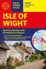
This pocket-sized street atlas of the Isle of Wight gives detailed coverage of the whole of the island and mainland towns nearby.
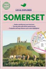
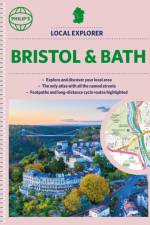
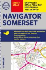
Philip's created this new series for walkers, cyclists and local explorers at a scale that provides greener options to uncover all the nature and hidden gems in your local area. From Bath to Yatton, we cover all of Somerset in glorious detail.
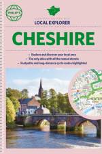
Philip's created this new series for walkers, cyclists and local explorers at a scale that provides greener options to uncover all the nature and hidden gems in your local area. From Chester to Winsford, we cover all of Cheshire in intriguing detail.
Who hasn't explored and enjoyed their surrounding area recently and come to appreciate what is on our respective doorsteps? Philip's have created this new series for walkers, cyclists and local explorers at a scale that provides greener options to uncover all the nature and hidden gems in the local area. The detailed scale allows explorers, walkers and cyclists to avoid main roads and select pathways, bridleways and lanes for optimum enjoyment. Whether it's meandering through the local parks or historic houses, exploring neighbourhood nature spots or the local town, we have the clear mapping and information you need. If you do have to travel to reach areas you'd like to explore, all A and B roads are clearly shown on our Route Planner and we include all the large-scale town and city plans. Exceptional detail allows the user to pinpoint exactly where they need to go and the best route to follow. * The only atlas with every road, street and lane in the area named, along with the best pedestrian routes, long-distance cycle routes. * Highlighting lanes, alleyways, footpaths and bridleways, camping and caravan sites, golf courses, parks, gardens and many, many other places of interest * Contains all the usual one-way streets, barriers, car parks, railway and bus stations, hospitals, colleges and schools, police and fire stations, places of worship, post offices, shopping and leisure centres
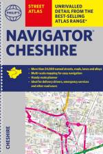
The only detailed colour atlas that gives comprehensive coverage of the entire region - no other atlas names every street in Cheshire. The perfect back-up for emergency services, delivery drivers and locals.
The only detailed colour atlas that gives comprehensive coverage of the entire region - no other atlas names every street in Somerset. The perfect back-up for emergency services, delivery drivers and locals.
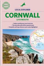
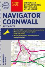
The only detailed colour atlas that gives comprehensive coverage of the entire region - no other atlas names every street in Cornwall and Plymouth. The perfect back-up for emergency services, delivery drivers and locals.
Abonner på vårt nyhetsbrev og få rabatter og inspirasjon til din neste leseopplevelse.
Ved å abonnere godtar du vår personvernerklæring.