Gjør som tusenvis av andre bokelskere
Abonner på vårt nyhetsbrev og få rabatter og inspirasjon til din neste leseopplevelse.
Ved å abonnere godtar du vår personvernerklæring.Du kan når som helst melde deg av våre nyhetsbrev.
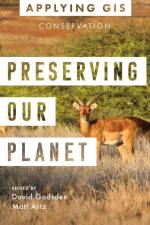
Discover the geographic approach to conservation land management and landscape conservation. Geographic information system (GIS) technology offers a comprehensive tool for conservation professionals.A modern GIS gives users a real-time look at their data, locations, and their relationships. When applied to conservation, it reveals dependencies and challenges across multiple environments. Through maps and apps, conservation professionals can observe the field, analyze and organize their data, and collaborate with other organizations and the public on addressing threats and opportunities found. Preserving Our Planet: GIS for Conservation explores a collection of real-life stories about conservation organizations successfully using GIS to meet challenges to biodiversity preservation in our rapidly changing world.The book also includes a section on next steps that provides ideas, strategies, tools, and actions to help you jump-start your own use of GIS for conservation. A collection of online resources, including additional stories, videos, new ideas and concepts, and downloadable tools and content, complements this book.Edited by David Gadsden, director of conservation solutions at Esri, and Matt Artz, an Esri content strategist.
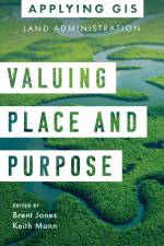
VALUING PLACE AND PURPOSE GIS FOR LAND ADMINISTRATION Improve land records, property valuation, sustainable development, and social stability. Location intelligence is changing the way land administration works to protect and maintain appropriate land use and achieve better economic, environmental, and social benefits. The real-life stories in Valuing Place and Purpose: GIS for Land Administration show how communities, government agencies, nonprofits, and other organizations implement geographic information systems (GIS) in four key areas: · Visualizing parcels and property · Managing land use · Strengthening climate and conservation efforts · Addressing land rights, equity, and social justice The book also includes a special section to help you get started using web apps, online maps, dashboards, and other GIS solutions to represent and understand the value of land and property and efficiently manage, edit, and share land parcel data more accurately. Edited by Brent Jones, director of land administration industry solutions at Esri, and Keith Mann, Esri Press. APPLYING GIS The Applying GIS series explains how to become a spatial thinker, with ideas and strategies for building location intelligence into your profession, industry, or discipline. Each book is divided into relevant topic areas that include a set of case studies and suggestions for getting started with GIS.
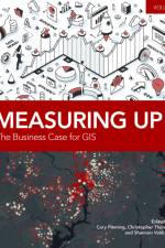
Measuring Up: The Business Case for GIS, Volume 3 is a collection of all updated, real-world stories from government agencies that have successfully used GIS technology to meet business goals. Chapters focus on how implementing automated GIS workflow and resource management solutions helps organizations save time and money, increase accuracy and efficiency, and maximize productivity and revenue. The articles in this collection illustrate how GIS is being utilized to implement new, more efficient business processes and show how these emerging practices have improved communities and organizations
Abonner på vårt nyhetsbrev og få rabatter og inspirasjon til din neste leseopplevelse.
Ved å abonnere godtar du vår personvernerklæring.