
Gjør som tusenvis av andre bokelskere
Abonner på vårt nyhetsbrev og få rabatter og inspirasjon til din neste leseopplevelse.
Ved å abonnere godtar du vår personvernerklæring.Du kan når som helst melde deg av våre nyhetsbrev.
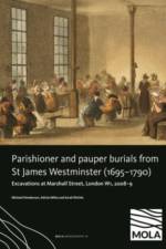
?Together with historical and archaeological evidence, results of ?2553 burials and full osteological analysis of 1786 skeletons help place the lives of the urban poor and destitute within the wider context of the 17th and 18th centuries.
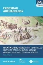
Modern Liverpool Street was once on the margins of London: the story of its development - from the medieval marsh of Moorfields to municipal, non-parochial, burial ground and later suburb - is illustrated by archaeological investigations undertaken as part of the Crossrail Central development.
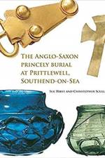
An account of the burial and the grave goods, and their wider context.
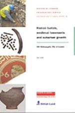
The excavation at 201 Bishopsgate in 1998-9 uncovered evidence for Londinium's northern cemetery, roadside occupation along Roman Ermine Street, and medieval and later development to the west of Bishopsgate. This area has been extensively used and re-used, from burials to refuse-disposal to houses, as London has expanded.
Abonner på vårt nyhetsbrev og få rabatter og inspirasjon til din neste leseopplevelse.
Ved å abonnere godtar du vår personvernerklæring.