Gjør som tusenvis av andre bokelskere
Abonner på vårt nyhetsbrev og få rabatter og inspirasjon til din neste leseopplevelse.
Ved å abonnere godtar du vår personvernerklæring.Du kan når som helst melde deg av våre nyhetsbrev.
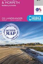
The OS Landranger Active Map series covers Great Britain with 204 detailed maps, perfect for day trips and short breaks. Tough, durable and weatherproof, covered in a lightweight protective plastic coating that can be written on, so that your favourite routes can be easily highlighted.
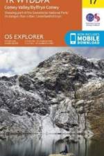
OS Explorer is the Ordnance Survey's most detailed map and is recommended for anyone enjoying outdoor activities like walking, horse riding and off-road cycling. The OS Explorer range of OL maps now includes a digital version of the paper map, accessed through the OS smartphone app, OS Maps.
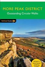
A new Pathfinder (R) walking guide to the Peak District, featuring 28 circular rambles clearly arranged by length and grade, visiting both the White Peak countryside of the south and the more rugged Dark Peak of the north, with all walks accompanied by GPS waypoints, Ordnance Survey maps and colour photography.
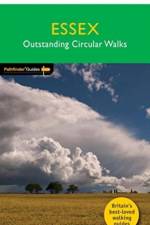
28 fabulous coastal and country walks offering an exploration of the lonely marshes, rolling farmlands, ancient woodlands and attractive villages of Essex. Graded by length and ranging from 3 to 9 miles all routes come with a clear, large-scale OS map, GPS waypoints and highlight where to park, good pubs and places of interest en route.
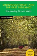
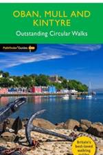
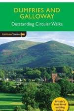
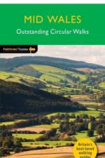
28 circular, graded walks all tried and tested by seasoned walkers. The routes range from extended strolls to exhilarating hikes, so there is something for everyone.
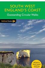
New Pathfinder (R) walking guide to South West England featuring 30 circular walks ranging in length from 2 to 13 miles. Exploring the UK's most popular National Trail, the South West Coast Path, all walks are accompanied by GPS waypoints, Ordnance Survey maps and colour photography
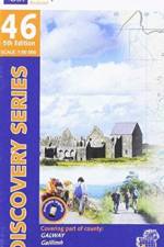
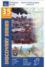
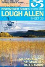
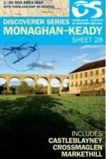
The Discovery Series are designed for tourist and leisure activities. Each one covers an area of 40km x 30km at the scale of 1:50,000. There are 93 sheets in the series. 75 are produced by Ordnance Survey Ireland and 18 by Ordnance Survey Northern Ireland. The maps produced by Ordnance Survey Northern Ireland are called the Discoverer Series.
28 circular, graded walks all tried and tested by seasoned walkers. The routes range from extended strolls to exhilarating hikes, so there is something for everyone.
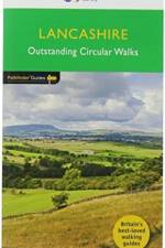
28 fabulous country walks from the shores of Morecambe Bay, through the Forest of Bowland, Pendleside and the Ribble valley to the Pennine moorland. Graded by length and ranging from 3 to 10 miles, all routes come with a clear, large-scale OS map, GPS waypoints and highlight where to park, good pubs and places of interest en route.
The OS Landranger Active Map series covers Great Britain with 204 detailed maps, perfect for day trips and short breaks. Tough, durable and weatherproof, covered in a lightweight protective plastic coating that can be written on, so that your favourite routes can be easily highlighted.
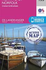
The OS Landranger Map series covers Great Britain with 204 detailed maps, perfect for day trips and short breaks. Each map provides all the information you need to get to know your local area and includes places of interest, tourist information, picnic areas and camp sites, plus Rights of Way information for England and Wales.
28 circular, graded walks all tried and tested by seasoned walkers. The routes range from extended strolls to exhilarating hikes, so there is something for everyone.
28 circular, graded walks all tried and tested by seasoned walkers. The routes range from extended strolls to exhilarating hikes, so there is something for everyone.
28 fabulous walks in countryside around Edinburgh from Arthur's Seat to Linlithgow and Dunbar taking in the Pentland, Moorfoot and Lammermuir Hills, all graded by length and ranging from 3 to 11 miles. All routes come with a clear, large-scale OS map, GPS waypoints and highlight where to park, good pubs and places of interest en route.
28 circular, graded walks all tried and tested by seasoned walkers. The routes range from extended strolls to exhilarating hikes, so there is something for everyone.
A new Pathfinder (R) walking guide to the Lake District, featuring 24 circular fell walks. Designed for adventurous walkers, the routes visit some of the highest mountain peaks in the area, from Scafell Pike to Skiddaw, with all walks accompanied by GPS waypoints, Ordnance Survey maps and beautiful photography.
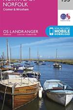
The OS Landranger Active Map series covers Great Britain with 204 detailed maps, perfect for day trips and short breaks. Tough, durable and weatherproof, covered in a lightweight protective plastic coating that can be written on, so that your favourite routes can be easily highlighted.
180 miles walking through the heathland, wooded vale and pretty villages of the Low Weald from Durford Heath to Ardingly,across the splendid spine of chalk, backbone of the South Downs National Park, including `Glorious' Goodwood and the prehistoric hill forts at Cissbury and Chanctonbury Rings,Sussex-by-the-sea from Chichester Harbour to Climping
A new Pathfinder (R) walking guide for Sussex, featuring 28 circular walks across the county, including the South Downs Way, Beachy Head and the Ashdown Forest. All walks are accompanied by GPS waypoints, large-scale Ordnance Survey mapping and beautiful photography, and are suitable for walkers of all abilities.
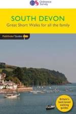
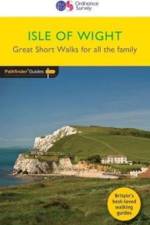
20 circular walks all graded by route and difficulty, they can be enjoyed by the whole family and are the ideal companion for day trips and holidays
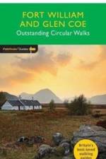
28 fabulous walks in the beautiful Fort William and Glen Coe countryside. Graded by length and difficulty, and varying from 3 to 10 miles, routes range uniquely from sea-level to the highest point in Britain. All routes come with a clear, large-scale OS map, GPS waypoints and highlight where to park, good pubs and places of interest en route.
20 circular walks all graded by route and difficulty, and now presented in an illustrated and easier-to-use layout, they can be enjoyed by the whole family and are the ideal companion for day trips and holidays.
28 circular, graded walks all tried and tested by seasoned walkers. The routes range from extended strolls to exhilarating hikes, so there is something for everyone.
28 circular, graded walks all tried and tested by seasoned walkers. The routes range from extended strolls to exhilarating hikes, so there is something for everyone.
28 circular, graded walks all tried and tested by seasoned walkers. The routes range from extended strolls to exhilarating hikes, so there is something for everyone.
28 circular, graded walks all tried and tested by seasoned walkers. The routes range from extended strolls to exhilarating hikes, so there is something for everyone.
The Discovery Series are designed for tourist and leisure activities. Each one covers an area of 40km x 30km at the scale of 1:50,000. There are 93 sheets in the series. 75 are produced by Ordnance Survey Ireland and 18 by Ordnance Survey Northern Ireland.
Abonner på vårt nyhetsbrev og få rabatter og inspirasjon til din neste leseopplevelse.
Ved å abonnere godtar du vår personvernerklæring.