


Gjør som tusenvis av andre bokelskere
Abonner på vårt nyhetsbrev og få rabatter og inspirasjon til din neste leseopplevelse.
Ved å abonnere godtar du vår personvernerklæring.Du kan når som helst melde deg av våre nyhetsbrev.
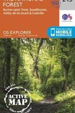
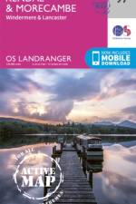
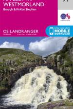
OS Explorer is the Ordnance Survey's most detailed map and is recommended for anyone enjoying outdoor activities such as walking, horse riding and off-road cycling. The series provides complete GB coverage and can now be used in all weathers thanks to OS Explorer Active, a tough, versatile version of OS Explorer.
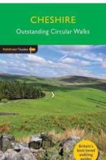
28 fabulous country walks in this fine English county from the Wirral to the fringes of the Peak District, graded by length and ranging from 3 to 11 miles. All routes come with a clear, large-scale OS map, GPS waypoints and highlight where to park, good pubs and places of interest en route.
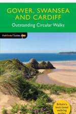
28 fabulous country walks in South Wales from Gower to Newport, graded by length and ranging from 3 to 9 miles. All routes come with a clear, large-scale OS map, GPS waypoints and highlight where to park, good pubs and places of interest en route.
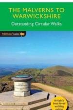
28 circular, graded walks all tried and tested by seasoned walkers. The routes range from extended strolls to exhilarating hikes, so there is something for everyone.
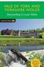
175 miles of walking between historic Ripon and the chalk edifice of Flamborough Head, from Filey Brigg to the soaring elegance of the Humber Bridge. Visit England's most complete deserted medieval village at Wharram Percy, explore the high wolds country at its finest around Thixendale, delight in waterside rambles along the Ure, Ouse and Derwent
28 circular, graded walks all tried and tested by seasoned walkers. The routes range from extended strolls to exhilarating hikes, so there is something for everyone.
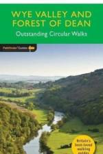
Revised edition of Pathfinder(R) Guide Wye Valley and Forest of Dean, with 28 circular rambles of varying difficulty. Routes explore the middle and lower Wye, from Hay to Chepstow, across to the Brecon Beacons. All walks have GPS waypoints and Ordnance Survey map.
Contains 15 fascinating and entertaining walks through London, from Westminster to The City and Clerkenwell to Chelsea, with colour throughout and easy-to-use maps. For tourists, visitors and residents alike, each walk is an enjoyable collection of insightful and intriguing short stories that bring London to life.
Contains 15 fascinating and entertaining walks through Edinburgh, from Grassmarket to Greyfriars and Holyrood to Crammond, in colour throughout and easy-to-use maps. For tourists and residents alike, each walk is an enjoyable collection of insightful and intriguing short stories that bring Edinburgh to life.
28 circular, graded walks all tried and tested by seasoned walkers. The routes range from extended strolls to exhilarating hikes, so there is something for everyone.
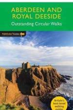
28 circular, graded walks all tried and tested by seasoned walkers. The routes range from extended strolls to exhilarating hikes, so there is something for everyone.
28 circular, graded walks all tried and tested by seasoned walkers. The routes range from extended strolls to exhilarating hikes, so there is something for everyone.
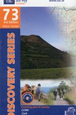
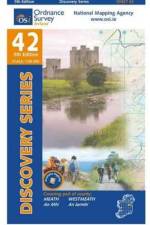
The Discovery Series are designed for tourist and leisure activities. Each one covers an area of 40km x 30km at the scale of 1:50,000. There are 93 sheets in the series. 75 are produced by Ordnance Survey Ireland and 18 by Ordnance Survey Northern Ireland. The maps produced by Ordnance Survey Northern Ireland are called the Discoverer Series.
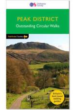
20 super walks all graded by route and difficulty, and fully updated; they can be enjoyed by the whole family and are the ideal companion for day trips and holidays to the Peak District National Park.
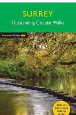
A new Pathfinder(R) walking guide for Surrey, featuring 28 circular walks around the county ranging in length from 2 to 13 miles for all abilities. Areas covered include the North Downs Way and Box Hill, with all walks accompanied by GPS waypoints, Ordnance Survey maps and beautiful photography.
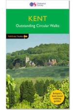
A new and updated Pathfinder(R) walking guide to Kent featuring 28 circular rambles clearly arranged by length and grade, visiting orchards, fields and churches, and areas from Westerham and Sandwich to Dover and the Isle of Sheppey - with all walks accompanied by GPS waypoints, Ordnance Survey maps and colour photography
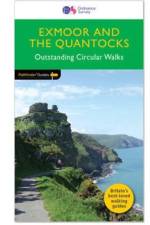
28 fabulous coastal and country walks in the Quantocks and in the Exmoor National Park, graded by length and ranging from 3 to 11 miles. All routes come with a clear, large-scale OS map, GPS waypoints and highlight where to park, good pubs and places of interest en route
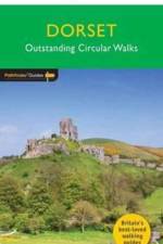
Dorset must rank as one of the most unspoilt counties in England. Dominating the landscape are the chalk downs open, sweeping, grassy uplands that stretch from the former forest lands of Cranborne Chase on the Wiltshire and Hampshire borders right across the middle of the county to the coast.
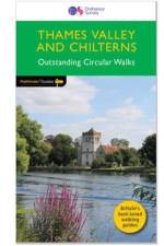
A fully updated Pathfinder Guide to Thames Valley and the Chilterns, featuring 28 circular rambles across an area characterised by meadows and beech woods, visiting areas throughout Berks, Bucks and South Oxon. All walks are accompanied by GPS waypoints, Ordnance Survey maps and beautiful photography.
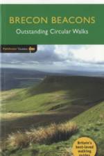
28 fabulous country walks in the Becon Beacons National Park, graded by length and ranging from 3 to 10 miles. All routes come with a clear, large-scale OS map, GPS waypoints and highlight where to park, good pubs and places of interest en route.
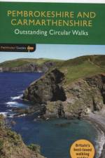
Although deep in South Wales, Pembrokeshire and Carmarthenshire have a strong English influence, but their most striking feature, from the point of view of the walker, is that they contain some of the most spectacular coastal scenery and finest stretches of coast path in Britain.
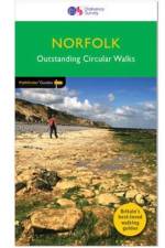
A revised Norfolk Pathfinder(R) Guide featuring 28 circular, graded walks all tried and tested by seasoned walkers, from the North Sea coastline to The Broads National Park. All routes are accompanied by GPS waypoints, Ordnance Survey maps and colour photography.
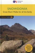
New edition of the best-selling walking guide to Snowdonia featuring 28 circular, graded walks all tried and tested by seasoned walkers, featuring popular mountains in the Snowdon group, striking valleys, and beautiful lakes and forests in the region. All routes are accompanied by GPS waypoints, Ordnance Survey maps and colour photography
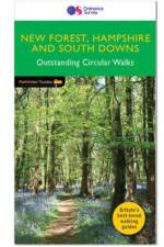
28 fabulous country walks focussing on the New Forest and South Downs National Parks, and the Itchen and Test valleys. Graded by length and ranging from 2 to 10 miles all routes come with a clear, large-scale OS map, GPS waypoints and highlight where to park, good pubs and places of interest en route.
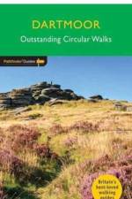
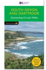
8 circular walks complementing Pathfinder Dartmoor, exploring the hills, river valleys, coastline and picturesque villages of the South Hams and south-east Devon - including Princetown, Buckfastleigh Moor and Vixen Tor. Each walk has been tried and tested by seasoned walkers and is accompanied by Ordnance Survey maps and colour photography.
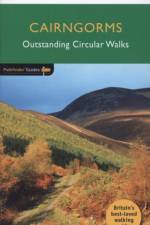
28 circular, graded walks all tried and tested by seasoned walkers. The routes range from extended strolls to exhilarating hikes, so there is something for everyone.
Abonner på vårt nyhetsbrev og få rabatter og inspirasjon til din neste leseopplevelse.
Ved å abonnere godtar du vår personvernerklæring.